When I first moved to Seoul, I confidently opened Google Maps — only to spend 30 minutes walking in the wrong direction near Itaewon. The app showed a route; the real streets disagreed. That one experience made everything clear: in 2026, the real debate for every foreigner in Korea is Naver Map vs KakaoMap. These are the only Seoul navigation apps that deliver accurate Korea public transport data, real-time subway tracking, and complete Korean map coverage — everything Google cannot.
Why Google Maps Fails in Korea (And Why You Need These Two)
To understand why Naver Map and KakaoMap dominate in Korea, it helps to know the structural reason Google Maps falls short — and it goes beyond simple data quality. Under Korea's Military Installations Protection Act and related national security regulations, high-precision geographic data cannot be exported to overseas servers for processing. Google's global mapping infrastructure relies on routing and rendering data through external servers, which Korean law restricts for security reasons. As a result, Google Maps in Korea operates on degraded-resolution data — accurate enough for rough reference, but unreliable for turn-by-turn navigation, public transit routing, or locating precise building entrances.
Naver and Kakao, as domestically operated platforms, process mapping data entirely within Korea's legal framework. This gives them access to the full-resolution spatial data — including real-time bus GPS feeds, subway congestion data, and building-level address matching — that Google simply cannot legally access at the same precision level.
The practical difference becomes most visible at Korea's major interchange stations. Sindorim Station, for example, connects Lines 1 and 2 across separate platforms with walking corridors that can take 5–10 minutes. Google Maps does not reliably account for this. Both Naver Map and KakaoMap incorporate in-station walking time, exit-specific routing, and real-time platform congestion updates sourced directly from the Seoul Metro system — data that remains inaccessible to Google's architecture under current Korean law.
Naver Map vs KakaoMap: Core Feature Comparison
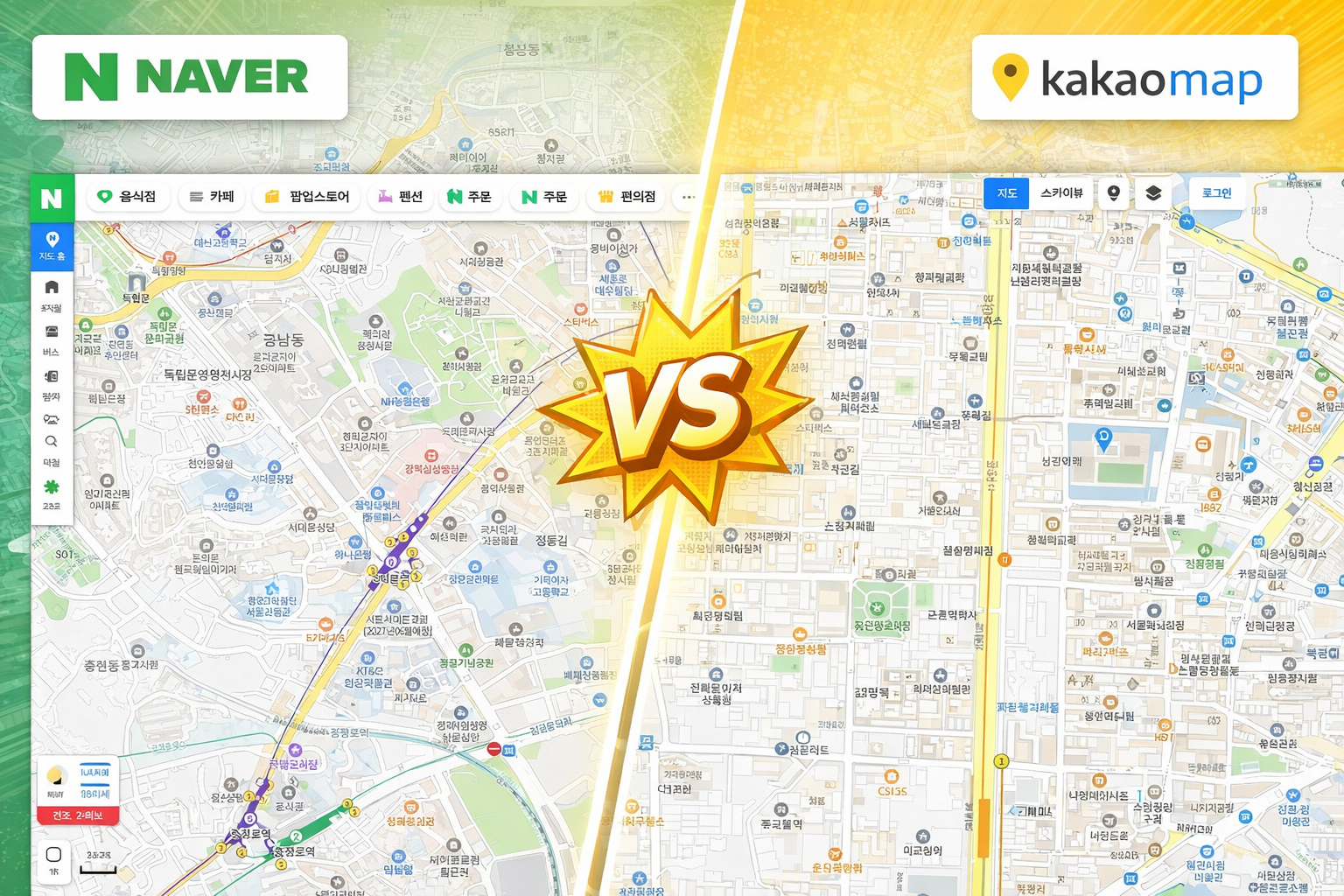
With Google Maps ruled out for serious navigation, the focus shifts entirely to Naver Map vs KakaoMap. Both apps are excellent — but they differ in ways that matter depending on how a foreigner uses Korea day-to-day. The table below compares the five features that affect non-Korean users most directly.
| Feature | Naver Map | KakaoMap |
|---|---|---|
| English Interface | Full English support, stable UI | Available, but partial translations |
| Place Search (English Input) | Strong — accepts both English & Korean keywords | Limited — best with Korean input |
| Real-Time Traffic | Highly detailed | Highly detailed |
| Public Transport Info | Extensive — includes transfer optimization | Very strong — visually cleaner layout |
| Restaurant & Review Data | Integrated with Naver Blog & reservation system | Strong local review network via Kakao |
KakaoMap compensates with a superior visual layer for lifestyle discovery. Neighborhood-level café density, pop-up store pins, and local review counts are displayed more prominently — making it the preferred tool for weekend exploration in areas like Seongsu-dong or Mangwon Market.
Insider Tip: When English search on KakaoMap returns blank results, a widely used expat workaround is to transliterate the place name into Korean (e.g., "Starbucks" → "스타벅스") before searching. On Naver Map, direct English input typically resolves correctly — no workaround needed. For managing other essential apps in Korea, see: Top 5 Korea Food Delivery Apps with English Support (2026).
Public Transport, Subway & Walking Navigation Accuracy
Korea's public transportation network ranks among the most complex and precisely timed in the world. Seoul alone operates 9 subway lines, with dozens of interchange stations where transfer corridors, platform levels, and exit numbers create significant navigation challenges for first-time users. According to the Seoul Metropolitan Government, the city's smart mobility infrastructure has undergone continuous real-time sync improvements since 2024 — and both Naver Map and KakaoMap reflect this data directly.
Exit Number Matters: Seoul subway stations commonly have 10–15 numbered exits, each pointing to a different street level or direction. Choosing the wrong exit at a large station like Seoul Station, Sadang, or Express Bus Terminal can add 10–15 minutes of unnecessary walking. Always confirm the exit number before descending to the platform — both apps show this, but with different levels of detail.
Subway Navigation
Both apps draw from the same real-time Seoul Metro API, so raw arrival time accuracy is equivalent. The difference lies in how clearly that data is presented to someone unfamiliar with Korean station layouts.
- Naver Map displays specific exit numbers and in-station walking time estimates — critical at large interchange stations like Sindorim (Lines 1 & 2), which requires navigating separate platform levels and a multi-minute corridor walk. First-time users benefit significantly from this level of detail.
- KakaoMap presents transfer routes as a cleaner color-coded flow, prioritizing speed of readability over granular station detail. Experienced Seoul commuters often prefer this format for quick scanning.
Bus & Real-Time Tracking
Both applications receive city-level bus GPS updates every few seconds, making real-time vehicle tracking and delay prediction functionally equivalent in 2026. For routes within central Seoul, there is minimal practical difference. One notable edge: Naver Map tends to surface more route options for destinations in outer districts — Nowon, Dobong, or Incheon — where bus coverage supplements or replaces subway access.
Walking & GPS Accuracy
High-rise urban density in Korean cities creates GPS signal interference between buildings. Both apps address this through road-geometry map-matching rather than relying on raw GPS alone — a technique that significantly improves pedestrian routing accuracy in dense corridors.
- Naver Map recalculates walking routes faster when deviating from the suggested path — useful in unfamiliar areas where spontaneous turns are common.
- KakaoMap delivers smoother turn-by-turn voice guidance for walking — preferable for users who prefer audio cues over screen-checking while navigating.
Insider Tip: In underground complexes like COEX Mall, Times Square, or the Gangnam Underground Shopping Center, standard GPS fails entirely. Both apps offer limited indoor maps for select locations, but the practical solution used by experienced expats is to screenshot the floor map before entering any large underground complex. Neither app currently provides reliable real-time indoor navigation for these spaces.
Which App Should You Choose?
| User Type | Recommended App | Key Reason |
|---|---|---|
| Long-Term Resident / Expat | Naver Map | Superior English search + official institution listings |
| First-Time Tourist | Either | Both cover major attractions and transit routes reliably |
| Food & Café Explorer | KakaoMap | Richer local review visibility + cleaner neighborhood view |
| Daily Subway Commuter | Naver Map | Detailed exit numbers + transfer route optimization |
| Driver (Car Navigation) | Naver Map | More complete road data; preferred by Korean drivers |
| Lifestyle & Leisure Seeker | KakaoMap | Faster visual scan of local spots, pop-ups, and venues |
The most practical approach — widely adopted among experienced expats in Korea — is to install both apps and switch by context. Use Naver Map for commuting, official addresses, and administrative navigation. Use KakaoMap for restaurant discovery, café hunting, and weekend neighborhood exploration. The two apps complement each other more than they compete.
Getting your digital setup right in Korea extends beyond just maps. If the full app is locked behind identity verification, the guide on How to Use the PASS App in Korea covers the authentication step that unlocks most Korean apps for foreigners. For cutting transit costs once navigation is sorted, see: How to Save Up to 53% on Public Transport with K-Pass Korea.
Conclusion: KimchiLandGuide's Verdict
In 2026, Naver Map leads on English compatibility and structured navigation; KakaoMap wins on visual design and lifestyle discovery. Installing both and switching by task is the most friction-free approach to daily navigation in Korea.
Ready to explore Seoul with your new navigation skills? TalkMaru's Seongsu-dong Popup Store Map: March 2026 lists the exact GPS-pinned locations of Seoul's hottest pop-up events this season — the perfect first test route for your new go-to Korean map app.


